rhys@rdbd.com.auEmail | Call 0414 135 014 | Altona Victoria
Residential building design project Werribee, Melbourne western suburbs

Building designer in Werribee

What your Werribee property's VicPlan zoning, heritage and flood status actually mean.

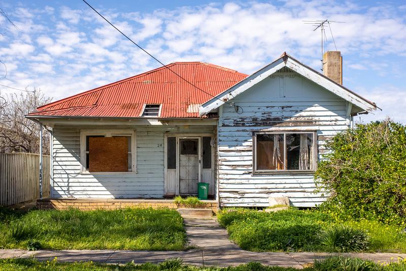
Werribee runs two distinct planning pictures side by side. Established streets near the historic town centre carry heritage overlay and flood overlay along the river corridor. Newer fringe estates carry neither. RD Building Design reads your specific VicPlan and Section 32 data rather than assuming based on which side of the suburb you're on.
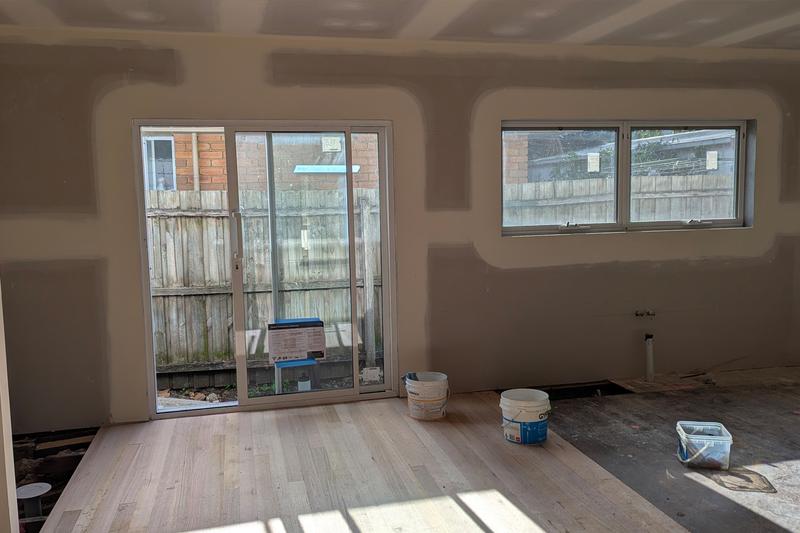
Reading Werribee's overlapping overlays

Reading Werribee's overlapping overlays

Rhys Davies Building Designer (DP-AD 43008) Adv.Dip. Building Design (Arch.), Registered Building Practitioner (Arch.) RD Building Design

Rhys works as both building designer and draftsman on every Werribee project, checking flood overlay status along the river corridor and heritage status near the town centre separately, since the two boundaries don't follow suburb lines. They follow the street.

Zoning across Werribee's two building markets

General Residential, Neighbourhood Residential and Residential Growth zoning all apply across Werribee under the Wyndham Planning Scheme. Established streets near the town centre on GRZ land support dual occupancy where lot size allows. Newer estates on standard modern lots rarely clear the minimum subdivision size, regardless of zone.

Werribee River flood overlay

Land Subject to Inundation Overlay and Special Building Overlay cover parts of central Werribee along the river corridor. VicPlan's overlay layer shows the exact boundary, which runs through individual streets rather than the whole suburb. A property assessment confirms whether your address sits inside the mapped area before design starts.

Heritage overlay near the town centre and Werribee Park

Heritage protection applies to pockets around the historic town centre and the Werribee Park precinct. Outside those pockets, an extension or a granny flat faces standard ResCode requirements rather than heritage assessment.

What you can build in Werribee

Planning controls and development potential under the Wyndham Planning Scheme

Council

Wyndham

Planning scheme

Wyndham Planning Scheme

Predominant zones
GRZ General residential zone

Allows moderate housing growth. Dual occupancy viable on lots of 300sqm+ per resulting title. Medium density development permitted with a planning permit.

NRZ Neighbourhood residential zone

Limits housing growth. Maximum two dwellings per lot in most cases. No apartment-style development. Protects established neighbourhood character.

RGZ Residential growth zone

Encourages higher density development. Apartments and multi-unit developments permitted. Fewer restrictions on building height and dwelling numbers.

Planning overlays
Heritage overlay

Heritage overlays apply to selected precincts around Werribee's historic town centre and older residential streets. The Werribee Park precinct (including Werribee Mansion) is a significant heritage site. Heritage assessment is required for works in affected residential areas.

Flood overlay

LSIO and SBO apply to areas along the Werribee River corridor. Properties near the river require site-specific flood assessment. The Werribee River has a significant flood history affecting low-lying areas of the town centre and surrounds.

Typical lot size

Medium to large (typically 500-800sqm+)

More design flexibility. Site coverage is rarely the binding constraint, allowing larger secondary dwellings and more generous setbacks.

Granny flat viability

Permitted up to 60sqm without a planning permit under Victoria's 2023 provisions. Most blocks have sufficient site coverage capacity for a well-sized secondary dwelling.

Dual occupancy

Viable on many lots

GRZ or RGZ zoning on a significant proportion of properties. Lots meeting the minimum 300sqm-per-title threshold are common. Planning permit required.

Location

30km from Melbourne CBD. Nearest station: Werribee.

This summary reflects general planning conditions for Werribee. Individual properties may have additional overlays or conditions. A property assessment confirms exactly what applies to your block.

What this means for your Werribee project

What this means for your Werribee project

Older, established blocks near the town centre carry the most planning complexity but also the most options, including dual occupancy and granny flats on larger lots. Newer estates are more straightforward but more limited. A property assessment tells you which category your address falls into.

RD Building Design serves homeowners across Melbourne's western suburbs and beyond.

Building design questions for Werribee homeowners

What zone is my Werribee property?

Depends on location. Established central Werribee carries General Residential, Neighbourhood Residential and Residential Growth zoning in different pockets. Newer estates are predominantly General Residential Zone. VicPlan confirms the zone for your specific address.

Does my Werribee property have a flood overlay?

If you're within a few streets of the Werribee River or the town centre, possibly. Check VicPlan's overlay layer, since the boundary runs through individual streets rather than following suburb lines.

Is dual occupancy viable in Werribee?

On older, established General Residential Zone streets with larger lots, yes. Newer estate lots rarely clear the minimum subdivision size.

Do I need an architect or a building designer in Werribee?

A registered building designer covers the full brief for most Werribee extensions, dual occupancy and granny flat projects. An architect is worth considering for a bespoke rebuild where design is the primary driver.

What heritage rules apply near Werribee Park?

Heritage overlay covers the Werribee Park precinct and parts of the historic town centre. A heritage assessment early in the design process avoids rework later.

Contact RD Building Design Werribee

Get a straight answer on what your Werribee property allows

A consultation covers your VicPlan zoning, heritage and flood status, translated in plain English, and an honest read on what's achievable. No obligation.